Look at the following tourist attractions that is no longer available.
This limestone arch that jutted out of Malta's Gozo Island was known as the Azure Window. This spot was even featured in HBO's Game of Thrones. However it was destroyed by coastal processes and an intense storm in 2017.
Where is this natural attraction found?
What type of attraction is this?
Why is the this natural attraction no longer available??
8,000 mangrove plants to "naturally take root" at Sungei Durian in Pulau Ubin by 2026
How does the planting of mangrove plants help to mitigate climate change?
Where are most of the mangroves found in Singapore?
What has caused the loss of mangroves in the past?
Why is it important to regenerate mangrove forests?
Singapore is home to more than 30 mangrove tree species, including the Crabapple Mangrove, the Gedabu and the Api-api Jambu.
Its current supply of mangrove trees sequester more than 1.4 million tonnes of carbon dioxide and continue to store more carbon every year.
Besides removing carbon and storing it, some mangroves in Singapore can absorb more than 75 per cent of the energy of incoming waves and protect the shorelines during storm surges.
This helps to protect communities from threats associated with climate change, including worsening storms, rising sea levels and erosion.
Following last Friday’s incident, HDB and the contractor, Chiu Teng Construction Co. Pte Ltd, have taken immediate measures to stabilise the soil by applying a thin layer of concrete over the slope. The channel in Sungei Ulu Pandan is also widened to the current 3.5m and deployed several pumps to improve water flow in the canal. These immediate measures were taken to ensure public and workers’ safety, which is our foremost priority, by mitigating the impact of the slope failure and potential flood risk upstream.
Nonetheless, the flood risk to the Ulu Pandan Park Connector and immediate upstream areas remains, especially during heavy rain, as the canal has yet to be restored. PUB and NParks will closely monitor the water level in the canal, and to promptly alert residents and park users of any flood risks.
𝗣𝗵𝗮𝘀𝗲 𝟮: 𝗠𝗼𝗿𝗲 𝗽𝗲𝗿𝗺𝗮𝗻𝗲𝗻𝘁 𝘀𝗹𝗼𝗽𝗲 𝘀𝘁𝗮𝗯𝗶𝗹𝗶𝘀𝗮𝘁𝗶𝗼𝗻 𝘄𝗼𝗿𝗸𝘀
With the completion of these immediate mitigating measures and the operational response put in place to manage flood risk, to begin Phase 2 of the recovery works. This involves installation of sheet piles along the affected stretch of the park connector, to reinforce and further stabilise the slope. This is a critical phase, and needs to be completed before the main recovery and reconstruction works can be carried out safely.
During this phase, sheet piles will be driven deep into the ground to provide earth retention and excavation support. This helps to create a barrier for the safe removal of the displaced earth in the canal. The sheet piling works are expected to start this weekend and will take at least a month to complete.
In the meantime, NParks will be reopening segments of the Ulu Pandan Park Connector from Boon Lay Way and the Ayer Rajah Expressway to the Commonwealth Avenue West flyover this weekend, which are downstream (i.e. west of the incident site). NParks will work with PUB to monitor the rain forecast and water level in the canal, and will temporarily close the park connector when necessary.
The upstream (eastern) stretch of the park connector from the incident site to Clementi Road will remain closed for safety reasons, due to ongoing and planned recovery works, and potential flood risk.
𝗣𝗵𝗮𝘀𝗲 𝟯: 𝗠𝗮𝗶𝗻 𝗿𝗲𝗰𝗼𝘃𝗲𝗿𝘆 𝗮𝗻𝗱 𝗿𝗲𝗰𝗼𝗻𝘀𝘁𝗿𝘂𝗰𝘁𝗶𝗼𝗻 𝘄𝗼𝗿𝗸𝘀
This final phase of recovery and reconstruction works involves fully restoring the canal, reinstating the damaged part of the park connector, and reconstructing the slope and retaining walls within the construction site. These works are extensive and expected to take a few months to complete.
Watch this video on coral bleaching in the Great Barrier Reef
Reflect on Where are coral reefs found? What are the conditions needed for the growth of coral reefs? Why are coral reefs destroyed? What are the benefits of protecting coral reefs?
Do you know that there are some beautiful coral reefs in Singapore?
Read the following article on how coral reef conservation is carried out:
What would happen to our coastal land as sea level around Singapore is predicted to rise between 24
and 65 centimetres by 2100?
How can we battle against climate change?
About 70 per cent of the coast line is already protected by hard
structures like sea walls or stone embankments, which help protect against
coastal erosion. Do you think they will be effective in protecting the coast in the long term?
"Geo bags" had been added to one eroded stretch of the beach, near the Road
Safety Park. Geo bags are a type of sandbag made of a special sticky material
that sand can adhere to. Apart from successfully building up beach two years
on since 2010, the sandy surface of the bags also help them blend naturally into the beach
front. How effectively do you think this will be against coastal erosion?
Our first activity at the East coast park was to label the low water mark, the high water mark, the shoreline and the coastline.
We then proceeded to our assigned area, cell G. The breakers here are higher and nearer to each other. We observed the symmetrical shape of the coastline so we came up with the hypothesis that the beach gradient should also be the same on both sides behind the breakers. However, after measuring the gradient, we realised that the gradient is steepest at the one on the West compared to the one facing the East. We suspected that the more gentle slope could be a results of the longshore drift. We threw an apple into the sea and the swash brought the apple up the shore and the backwash brought it back to the sea causing the apple to move from west to east. However, it took a long time for the apple to move eastwards. We also timed the no. of waves per min - 20 per min which showed that the waves are strong and destructive. Thus the breakwater was quite effective - the coast which is actually reclaimed land would have given way to erosion if the coastal protection was not introduced.
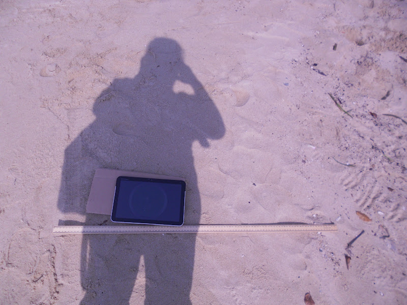
Using the downloaded application clinometer, we measured the gradient at every 1m interval from the high water mark with the tablet. Amazing what technology can do as in the past we have to carry the ranging poles and the clinometer to measure the beach gradient in order to plot the beach profile. When I downloaded the free app clinometer and smart compass from the Android Market , I also saw the 3D earthquake app which was so amazing - the next good app after google map!
The sketch which I did at the area we were assigned.
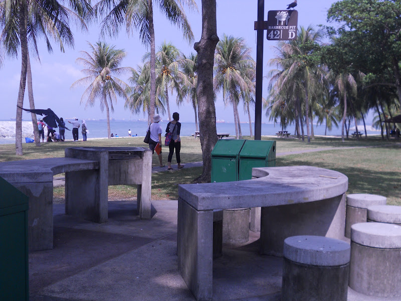
The East Coast Park is bustling with activities and can be very crowded during the weekends. Luckily we are there on a weekday. We show people camping, jogging, cycling and a group of students who are ready to start their BBQ. We did interviews with the people and learned quite a bit.
This was our findings which we presented at the post fieldwork session.