Field inquiry on coastal studies

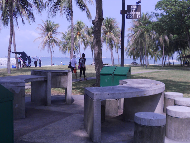
Our first activity at the East coast park was to label the low water mark, the high water mark, the shoreline and the coastline.


We then proceeded to our assigned area, cell G. The breakers here are higher and nearer to each other. We observed the symmetrical shape of the coastline so we came up with the hypothesis that the beach gradient should also be the same on both sides behind the breakers. However, after measuring the gradient, we realised that the gradient is steepest at the one on the West compared to the one facing the East. We suspected that the more gentle slope could be a results of the longshore drift. We threw an apple into the sea and the swash brought the apple up the shore and the backwash brought it back to the sea causing the apple to move from west to east. However, it took a long time for the apple to move eastwards. We also timed the no. of waves per min  - 20 per min which showed that the waves are strong and destructive. Thus the breakwater was quite effective - the coast which is actually reclaimed land would have given way to erosion if the coastal protection was not introduced. 


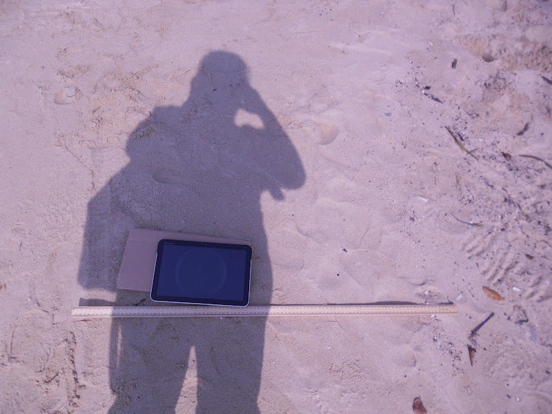
Using the downloaded application clinometer, we measured the gradient at every 1m interval from the high water mark with the tablet. Amazing what technology can do as in the past we have to carry the ranging poles and the clinometer to measure the beach gradient in order to plot the beach profile. When I downloaded the free app clinometer and smart compass from the Android Market , I also saw the 3D earthquake app which was so amazing - the next good app after google map!


The sketch which I did at the area we were assigned.


 The East Coast Park is bustling with activities and can be very crowded during the weekends. Luckily we are there on a weekday. We show people camping, jogging, cycling and a group of students who are ready to start their BBQ. We did interviews with the people and learned quite a bit.


This was our findings which we presented at the post fieldwork session.

Read Users' Comments (0)

Field inquiry on Weather Studies


We started off the activity with "human thermometer" for the five different sites.
Rating based on our senses without the instruments

Measuring of humidity is tedious with the sling psychrometer as we have to swing the instrument with 2 swings per sec which is like 120 round per min!


Sling Psychrometer - to measure humidity

Using the weather tracker, we compared the readings and tested our hypothesis on how the temperature was affected by the amount of shade and concrete surface area. Some areas are more exposed and floored with cement such as the parade square which resulted in the highest temperature recorded. In the areas which are more shaded and with soil such as the garden recorded the lowest temperatures.

I prefer to use this weather tracker which shows the humidity, temperature and wind speed - less tedious.


Read Users' Comments (0)

Singapore ranks 4th most popular destination by air

Why do you think Singapore is able to achieve such a high ranking?
Why do you think development of tourism in Singapore is so important?
Why do you think the largest number of tourists to Singapore is from Jakarta?
Why do you think the tourists from London spend the most amount of money in Singapore?
What are the factors which have encouraged the growth of tourism globally?

Read Users' Comments (0)

World Population

Population Growth
Log onto http://www.worldometers.info/  and see how fast the counter moves. 
How long do you think it will take world population to reach 10 billion (10 000 000 000)?
Look at the net population growth (births minus deaths) and do your maths!


Refer to the population of the different countries in 2011 - China top the list followed by India.  However if you look at the land area compared with the population - which country has the highest population density? 
Population Density = Population divided by the land area

Read Users' Comments (0)

Earthquake hits Italy

An earthquake in northern Italy has killed at least seven people and caused serious damage to buildings in several towns on 20 May 2012.  The magnitude-6.0 quake struck in the middle of the night, about 35km (22 miles) north of the city of Bologna. The tremor caused "significant damage to the cultural heritage" of Emilia Romagna region.
http://www.bbc.co.uk/news/world-europe-18135898
What caused earthquakes?
Why are some earthquakes more damaging?
Just look at this earthquake which occur recently and find out how the people are affected.

At least 17 people perished in a strong earthquake that struck in northern Italy near where a more powerful seismic jolt had killed seven others on May 20.
Which are the cities affected by the earthquake?

Read Users' Comments (0)

Veggie Pipe

Maximizing food production in land scarce Singapore. Singaporeans now have more ways to grow their own vegetables. The Agri-Food and Veterinary Authority on Thursday introduced a new vegetable home growing idea - known as the "Veggie Pipe". Some of the vegetables which can be grown include mint, basil and Chinese cabbages. All that is needed are some water pipes, soil and seedlings. An irrigation system can also be installed in the pipe.

Read Users' Comments (0)

Indonesia quake 11 Apr 2012


Read Users' Comments (0)

World's 10 richest countries


Read the article on the Richest countries in the world and answer the following:
—What is GDP per capita?
—How is it different from GDP (Gross Domestic Product)?
—Does GDP per capita reflect income level?
—Is GDP per capita a good indicator of development?
—What helped the countries to attain a high income?

Read Users' Comments (0)

India's malnutrition crisis


Read Users' Comments (0)

Earthquake in Philippines


Map of the Philippines locating the epicentre of a 6.8-magnitude quake. The 6.8-magnitude quake hit a narrow strait between the heavily populated islands of Negros and Cebu around lunchtime on 6 Feb 2012 with more than 200 aftershocks, some nearly as strong, causing further panic throughout the day.

Rescuers in the Philippines dug through rubble with shovels and their bare hands on 7 Feb after a powerful earthquake triggered landslides, collapsed homes and killed dozens of people.

The Philippines sits on the Pacific "Ring of Fire" -- a belt around the Pacific Ocean where friction between shifting tectonic plates causes frequent earthquakes and volcanic activity.
Source: http://sg.news.yahoo.com/one-dead-strong-philippine-quake-055342523.html

Read Users' Comments (0)